History that never happened
Chronicle & map
An automatically written history book of your game – and a map with relief, rivers and curved country names.
Campaign chronicle
A history book that writes itself.
Wars, peace treaties, alliances, crises, events, research and economy end up in the chronicle. For every year one sentence sums up what mattered most; a click flies the camera to the place.
- Map in the year … A slider shows the borders of an earlier year on the real game map.
- Charts. GDP, population and power of the strongest nations and your own over the years.
- Filter by importance. Everything, only your nation or only the big moments.
Map rendered from game data
The map
A map like an atlas.
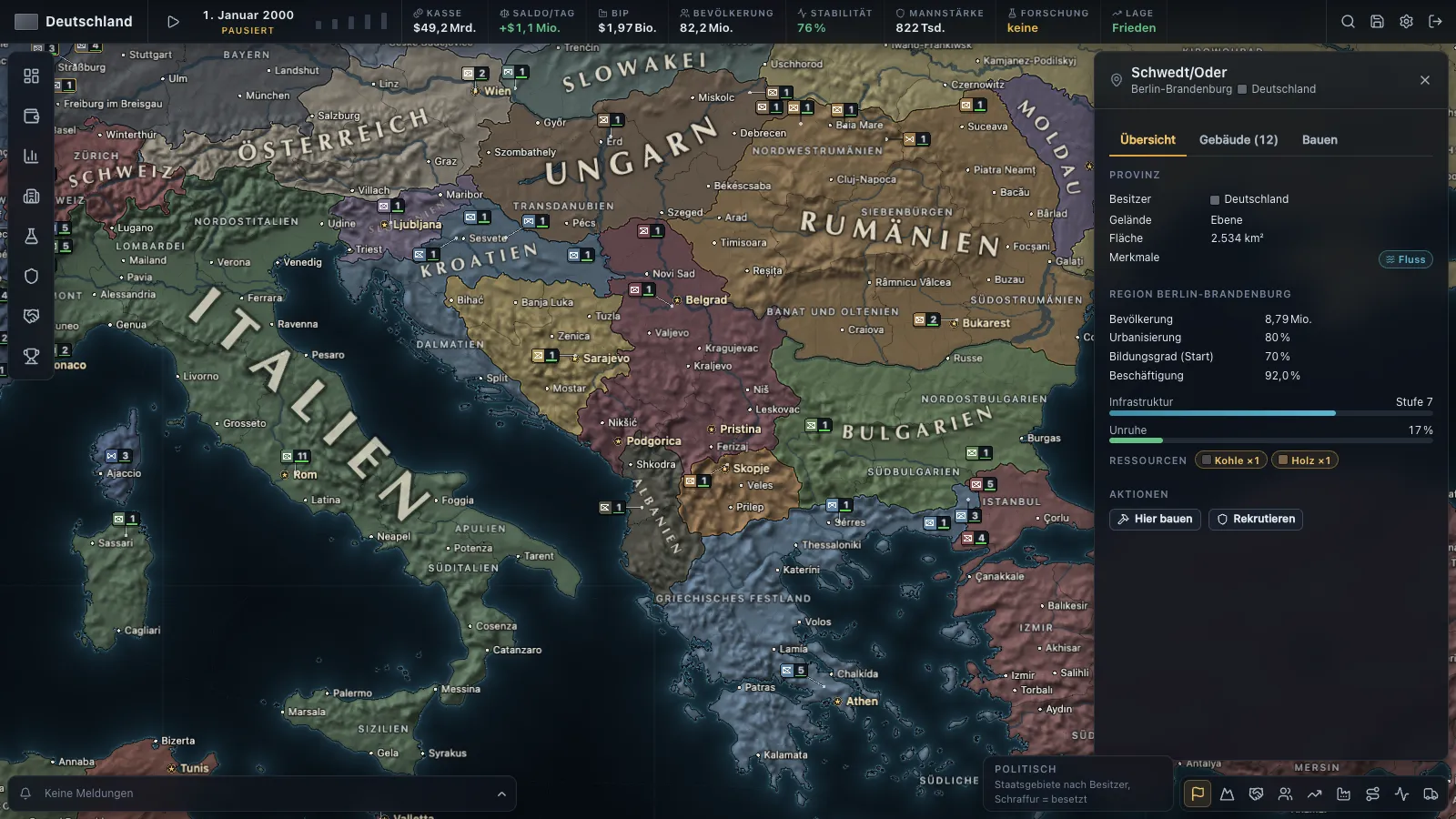
A dark vector map with relief and rivers: 3,129 provinces in 362 regions. Country names follow the shape of the state; region and place names appear once there is room.
- Map modes. Political, terrain, diplomacy, trade and data maps such as supply.
- Readable at any zoom. Labels adapt to the view.
- Natural Earth. Map base from public-domain data, place names from GeoNames and Wikidata.
Title screen
The world is already running before you play.
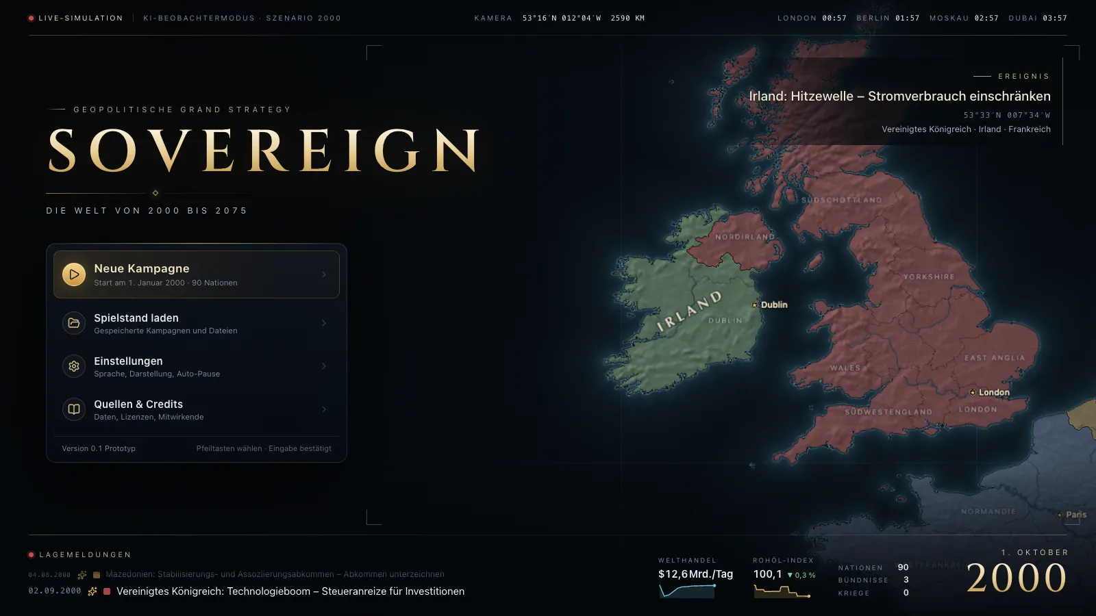
Behind the main menu runs a real game of the 2000 scenario in which only the AI governs. The camera flies to where something is happening; the situation reports come from that game.
AI observer mode